


The National Atlas of the United States
▻http://www.codex99.com/cartography/128.html
 http://www.codex99.com/cartography/images/national/pop_state_1874_sm.jpg
 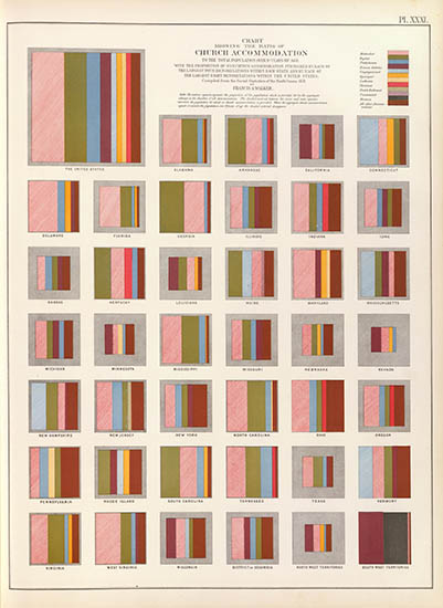 http://www.codex99.com/cartography/images/national/church_1874_sm.jpg
 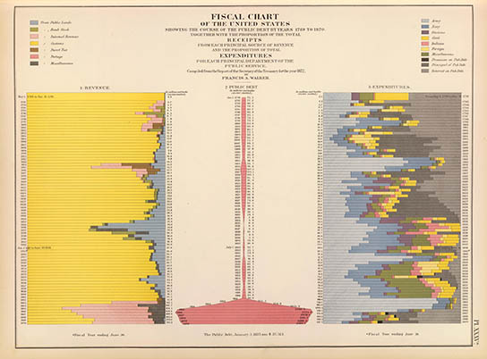 http://www.codex99.com/cartography/images/national/fiscal_1874_sm.jpg
 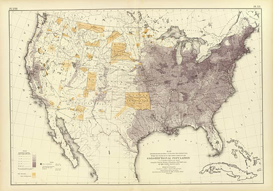 http://www.codex99.com/cartography/images/national/pop_1870_1874_sm.jpg
 Part I - The Statistical Altas of the United States
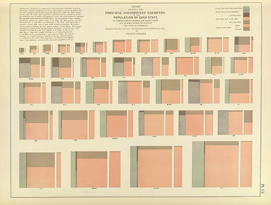
Francis Amasa Walker (2 Jul 1840 – 5 Jan 1897) graduated from Amherst College and practiced law before joining the Union Army where he eventually rose to the rank of Brevet Brigadier General. In 1869 he became the Chief of the Bureau of Statistics and on 7 Feb 1870, at age 29, was appointed the Superintendent of the Ninth Census.1
The census began on 1 Jun 1870 and the first collated results were completed by 23 Aug 1871. Using this advance data Walker “had caused to be laid down in color upon outline-maps of the United States, the proportions disclosed by the enumeration as existing in the several sections of the country, between the aggregate population and its principal constituent elements.” In other words – a statistical population map.